accomodi

Terms & Conditions

Using Accomodi means agreeing to the following, kept intentionally short.

Fair use

The free tier allows up to 30 postcode lookups per day, tracked locally in your browser. This limit exists to keep the underlying open-data APIs usable for everyone and may change over time.

Site analytics

We use aggregate, cookieless analytics to understand traffic and improve the product over time. This data is anonymous and is never used to identify or track individual visitors. If you accept analytics in the cookie banner, we also enable Google Analytics (GA4) — declining keeps it off entirely. See the Privacy Policy for details.

Not financial or real estate advice

Accomodi aggregates public open data into an indicative Neighbourhood Pulse Score. It is not certified financial, investment, or real estate advice, and should not be the sole basis for a purchase decision. Always verify critical facts (e.g. foundation condition) with a qualified professional.

Data accuracy

Scores are calculated from CBS, PDOK, and RVO open datasets, refreshed periodically. We make no warranty that the data is complete, current, or error-free, and disclaim liability for decisions made based on it.

Changes to these terms

We may update these terms as the product evolves. Continued use of Accomodi after a change means you accept the updated terms.

See it in action

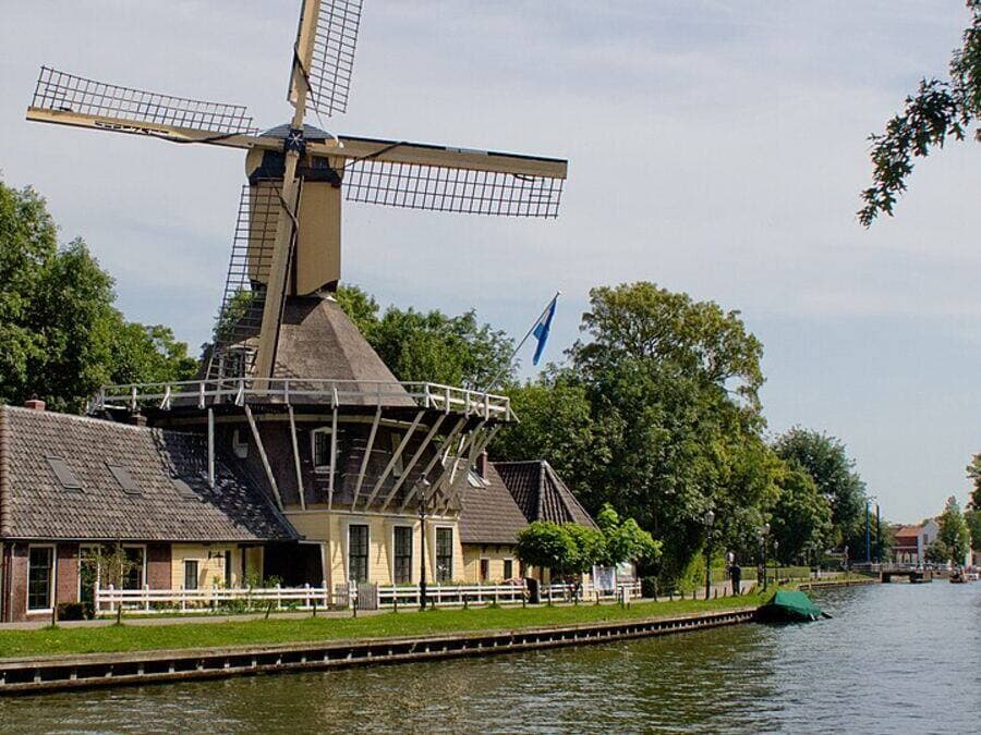
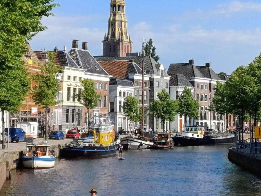
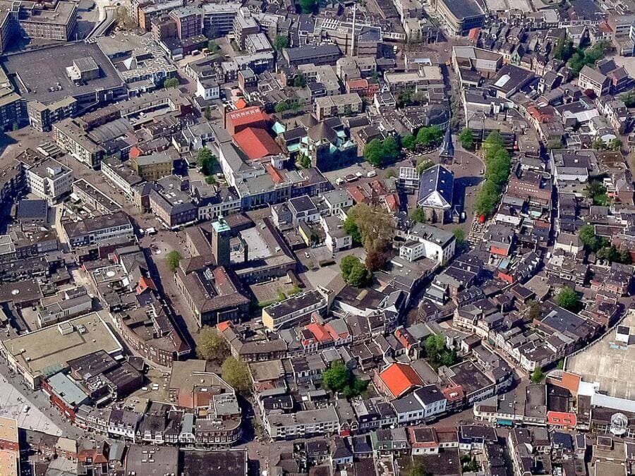
Not sure where to start? Explore the real neighbourhoods below — click any card for the full report.
How we grade

Four pillars, one composite score

Financial Health

WOZ asset appreciation metrics and localised buyer affordability tiers.

Structural Safety

Building era tracking (pre-1970 construction risk flags) and local energy label efficiency spreads.

Social & Community Dynamics

Population density balances, neighbourhood turnover indexes, and crime/nuisance trend lines.

Safety & Nuisance

Registered residential burglary rates and the share of registered crime that's nuisance-type, from Politie Open Data.

Data & Trust

Where does this data come from?

We strictly use official, verified public open data provided by the Central Bureau for Statistics (CBS), the Cadaster (Kadaster), the Dutch National Police (Politie), RIVM (the National Institute for Public Health and the Environment, including its Atlas Leefomgeving noise survey), and DUO (the Education Executive Agency), plus community-mapped amenity data from OpenStreetMap and local permit/zoning notices from Overheid.nl. No commercial bias, no scraped fluff. Just cold, hard civic analytics mapped to your prospective doorstep.

CBS StatLine
PDOK Open Data
Politie Open Data
RIVM Luchtmeetnet
DUO Open Onderwijsdata
RIVM Atlas Leefomgeving
OpenStreetMap
CBS WoON Survey
Overheid.nl — Berichten over uw Buurt
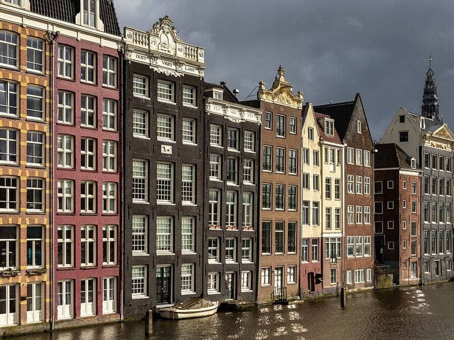
Rooftop view of a Dutch city street at dusk

What data or feature is missing that would help you?

We read every response — your feedback directly shapes what we build next.

Curious about deeper historical trends or price alerts?